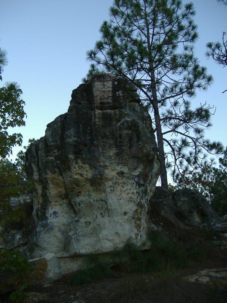
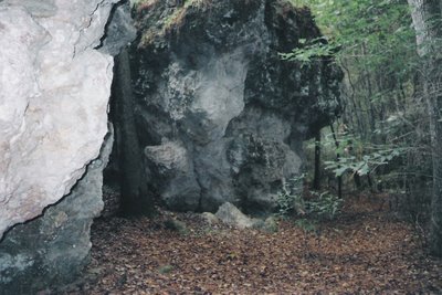
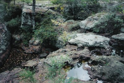
 Broxton Rocks,
Broxton, Coffee County, Georgia, 2001.
c. Brian Brown
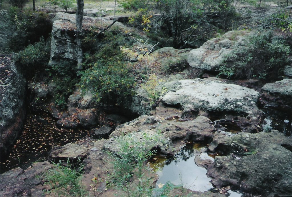
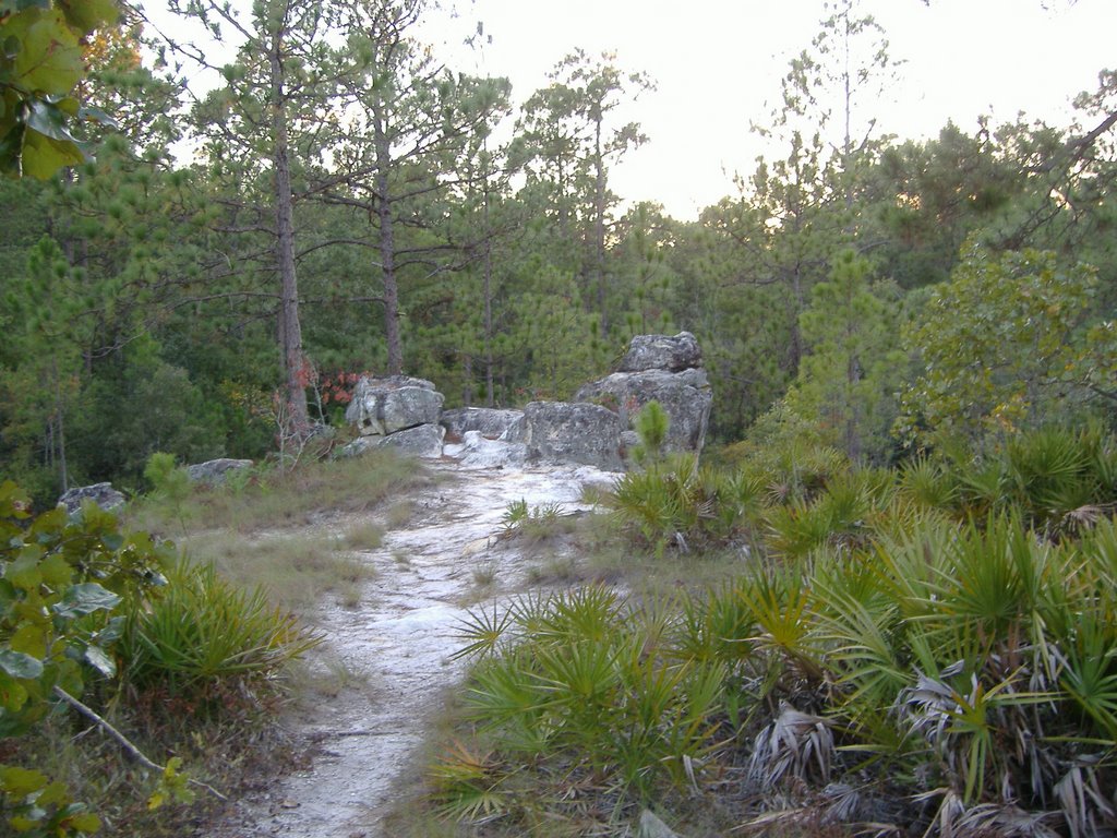
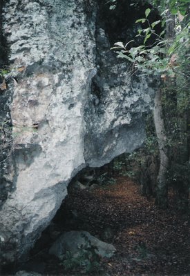
 Dry Waterfall, Broxton Rocks
Broxton, Coffee County, Georgia, 2001.
c. Brian Brown
 Broxton Rocks,
Broxton, Coffee County, Georgia, 2001.
c. Brian Brown
The Broxton Rocks have become widely known in recent years, due largely to the efforts of the Georgia Conservancy. Extending over an area of roughly four miles, and covering some 3800 acres, the Rocks are the outcroppings of a geological formation known as the Altamaha Grit, and harbor some of the rarest plants and wildlife in the state. Giant sandstone boulders characterize the landscape, and in the wet season, Rocky Creek spills over the area in the center photograph above to produce what may be the largest waterfall in South Georgia.
LINK
www.nature.org/wherewework/northamerica/states/georgia/preserves/art6691.htm
This is a direct link to the Nature Conservancy's guide to Broxton Rocks, and provides information on touring the site (which is by appointment only) and more on the rare wildlife found here.
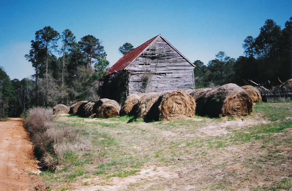
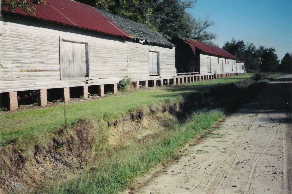
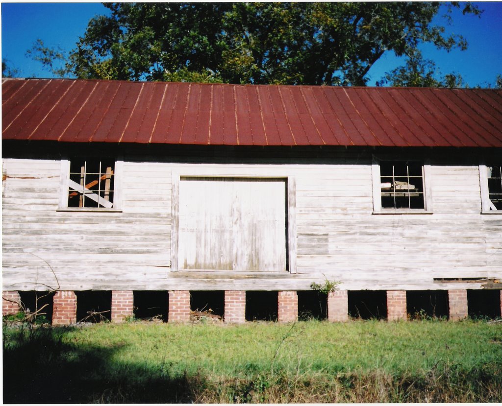
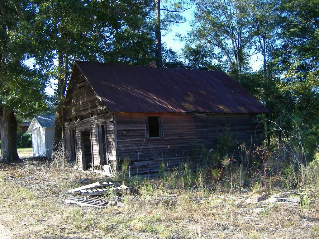 Abandoned Store,
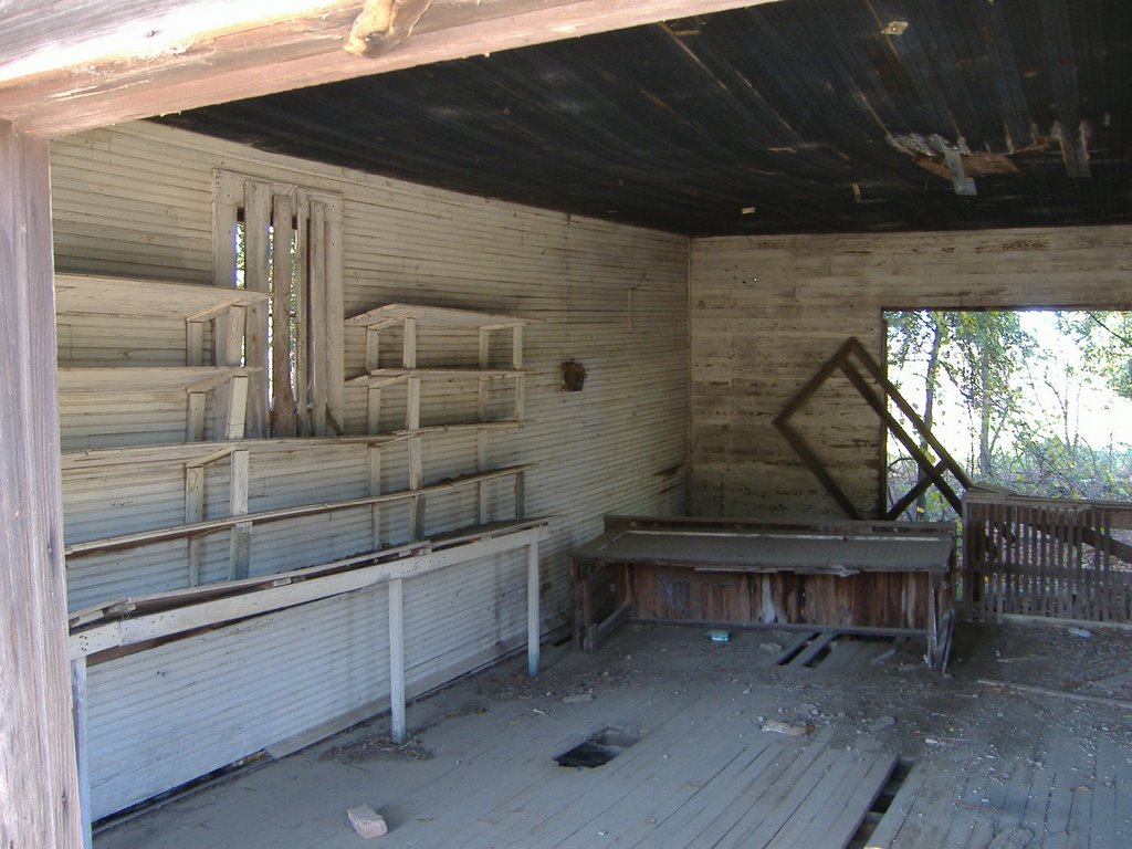 Interior of Abandoned Store,